St. Pete approves major zoning overhaul allowing taller buildings and no parking minimums along SunRunner route
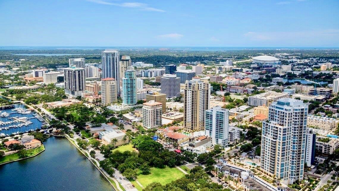
/An aerial view above the intersection of 23rd Street and Central Avenue looking east toward downtown St. Pete | City of St. Pete
The City of St. Pete has officially approved a major zoning change along the SunRunner corridor, clearing the way for taller buildings, denser development, and a shift toward more walkable neighborhoods.
On Thursday, City Council approved the SunRunner Bus Rapid Transit Overlay, with council members voting unanimously in favor of the measure and Councilmember Mike Harting recusing himself.
The approval marks the final step in adopting the new regulations.
At its core, the new overlay changes what can be built along Central Avenue west of 19th Street and nearby streets served by the SunRunner, the city’s 10-mile bus rapid transit line connecting downtown to the beaches.
The overlay creates a transit-oriented development district, giving property owners the option to follow a new set of rules designed to support transit use, increase development intensity, and allow a wider mix of uses than what is permitted under existing zoning.
Unlike a traditional rezoning, the overlay is optional, meaning developers can choose whether to use the new standards or stick with the underlying zoning already in place.
The overlay introduces one of the most closely watched changes: the elimination of minimum parking requirements.
The new zoning overlay is designed to encourage development along the SunRunner bus rapid transit (BRT) corridor in St. Pete | City of St. Pete
Within the overlay and within a quarter mile of SunRunner stations, developers are no longer required to build a set number of parking spaces.
That shift gives property owners flexibility to decide how much parking is appropriate for a project, rather than following a fixed formula that can require more parking than needed.
“Parking mandates force property owners to build excess parking based on arbitrary formulas, not actual demand,” Activate St. Pete, an advocacy group promoting safer streets and enhanced public transit, wrote in a letter of support.
Critics, however, have raised concerns about potential spillover parking in nearby neighborhoods and whether the change could outpace existing infrastructure.
“We are concerned about the impact in our neighborhood based on the reduction or elimination of parking,” Historic Kenwood Neighborhood Association President Nicholas Igneri said during the meeting.
Properties within the newly created SunRunner Activity Center. Blue represents “Urban” station areas, yellow represents “Neighborhood” station areas, and orange represents “Village” station areas | City of St. Pete
Residents of the Central Oak Park neighborhood raised similar concerns.
Councilmember Lisset Hanewicz pointed to residential parking permit programs as a tool that has helped manage parking impacts in other neighborhoods.
She also noted that the overlay can be amended in the future if issues or new ideas arise.
Another one of the biggest changes comes down to how much can be built on a given site.
The city controls intensity using a metric called Floor Area Ratio, or FAR, which determines how much total building space is allowed relative to the size of a property.
Under the new overlay, those limits increase significantly, specifically near SunRunner stations.
In practical terms, that translates to larger buildings, more housing units, and more mixed-use projects combining residential and commercial space.
The overlay divides the SunRunner route into different station area types, each with its own scale and intensity.
Parking minimums have been eliminated for properties shown in green | City of St. Pete
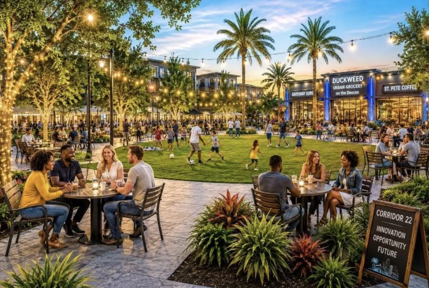
Areas around 22nd Street and 32nd Street are classified as “Urban Station Areas”, with the highest density and tallest buildings, while locations like 40th, 49th, and 58th streets fall into “Neighborhood Station Areas” with more moderate development, and 66th Street is considered a “Village Station Area” with a lower overall scale.
Projects in the Urban Station Area have a base FAR of 4.0, but can qualify for a 1.0 FAR bonus, setting the maximum allowable FAR at 5.0.
As the overlay moves west, the Neighborhood Station Area and Village Station Area have a base FAR of 3.0 and a 1.0 FAR bonus, setting the maximum allowable FAR at 4.0.
FAR bonuses can be granted through contributing to the city’s Housing Capital Improvements Projects (HCIP) trust fund to support workforce housing, the purchase of transfer of development rights (TDRs) from a locally designated landmark site, or implementing specific streetscape design and retail frontage.
“Contiguousness is important. Having a 5.0 FAR across Central makes a lot of sense,” commented Councilmember Copley Gerdes. “Being on the west side of St. Pete and wanting some of what Central has, we’re spreading it out.”
Jake Wollman, a commercial real estate agent at KW Commercial, also said a 5.0 FAR would benefit new investment and business along the corridor.
The new overlay allows for increased maximum building heights along the SunRunner corridor. Areas shown in green allow heights up to 86 feet, while areas shown in blue allow heights up to 150 feet | City of St. Pete
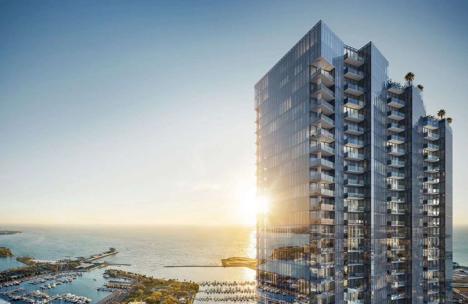
Building heights also increase, with some areas allowing structures up to 150 feet tall.
Another key provision of the new overlay encourages preservation by allowing buildings that are 50 years or older to be excluded from certain density calculations if they are retained, creating a financial incentive to reuse existing structures rather than demolish them.
Design standards are another major component of the zoning change, with a clear emphasis on walkability and pedestrian experience.
New development along Central Avenue and near station areas must include ground-floor, pedestrian-oriented uses, limit curb cuts, and prioritize sidewalks.
Parking is pushed to the rear of properties, and buildings are expected to engage directly with the street, a shift away from more car-centric development patterns that have historically dominated parts of Central Avenue.
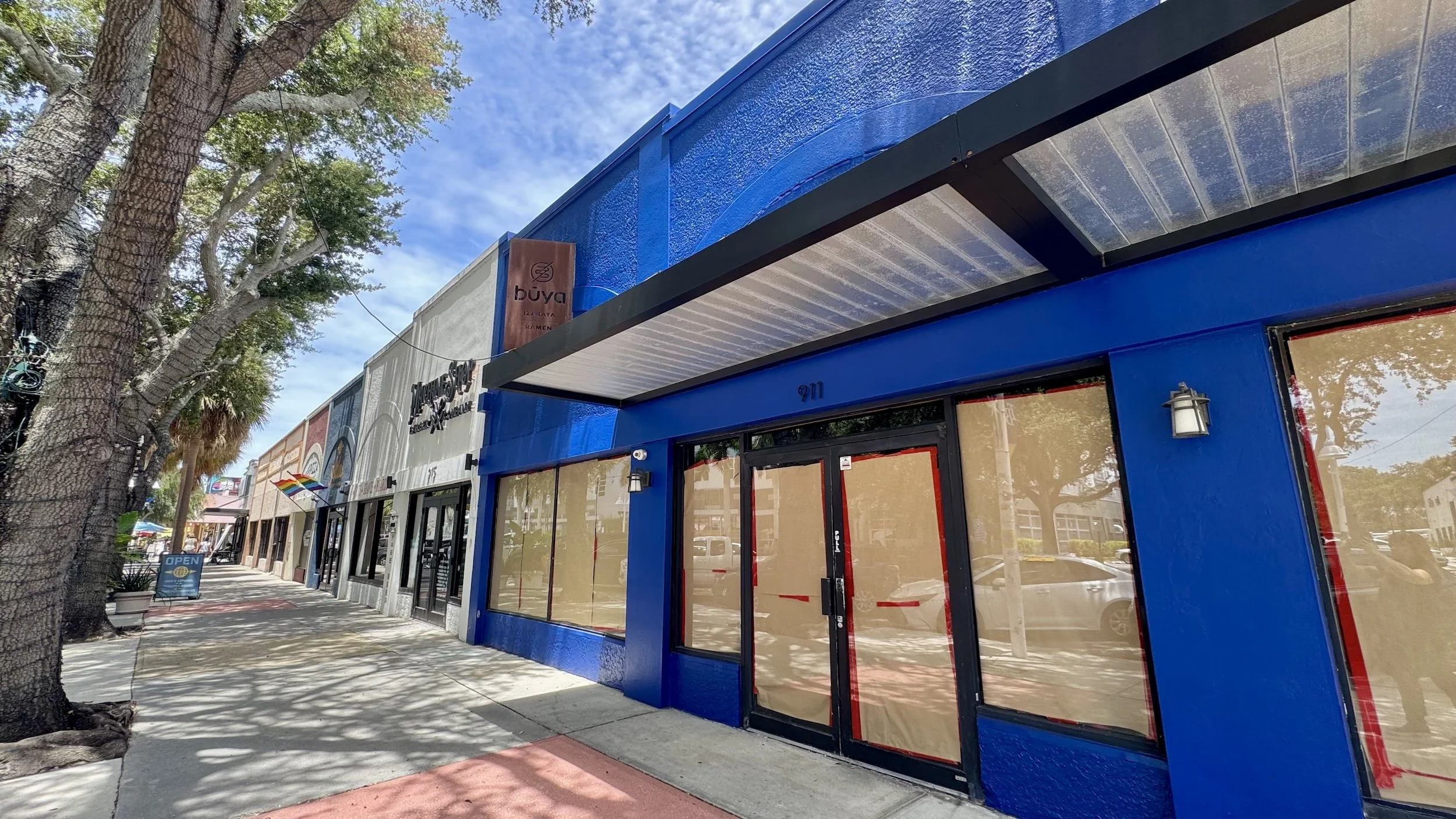
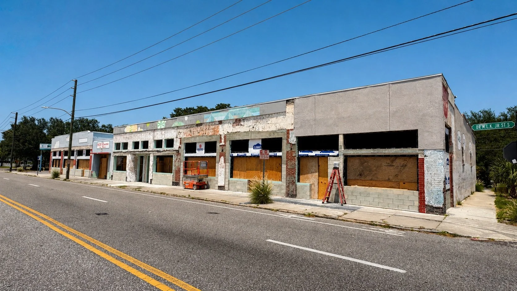
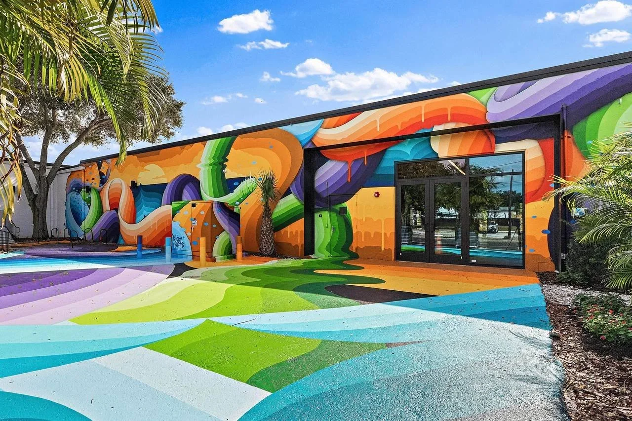
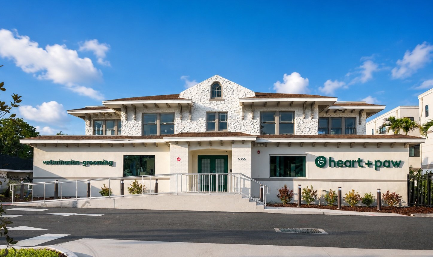
The Grand Central District is expected to see increased development activity in the coming years following approval of the new zoning overlay | St Pete Rising
Ultimately, the proposal drew significant public input leading up to the final vote, with strong support from housing advocates, transit supporters, and business groups who see the overlay as a way to encourage continued smart growth west along Central Avenue.
At the same time, the overlay faced pushback from preservation advocates and some community members concerned about the potential impact on Central Avenue’s character.
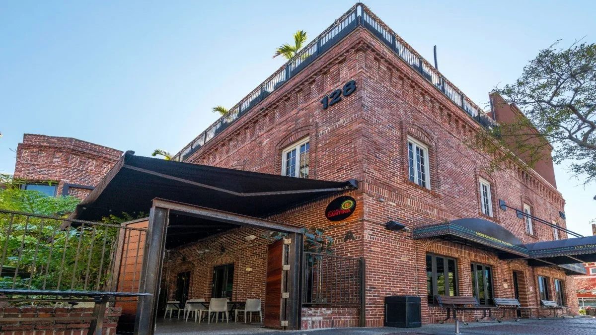
Preserve the ‘Burg Executive Director Manny Leto warned that increased development intensity could lead to the loss of older buildings that house many locally owned businesses and contribute to the corridor’s identity.
However, with City Council’s unanimous approval, the overlay now moves into effect.
How the Central Avenue corridor ultimately evolves will depend on how developers and property owners choose to use the new zoning options.